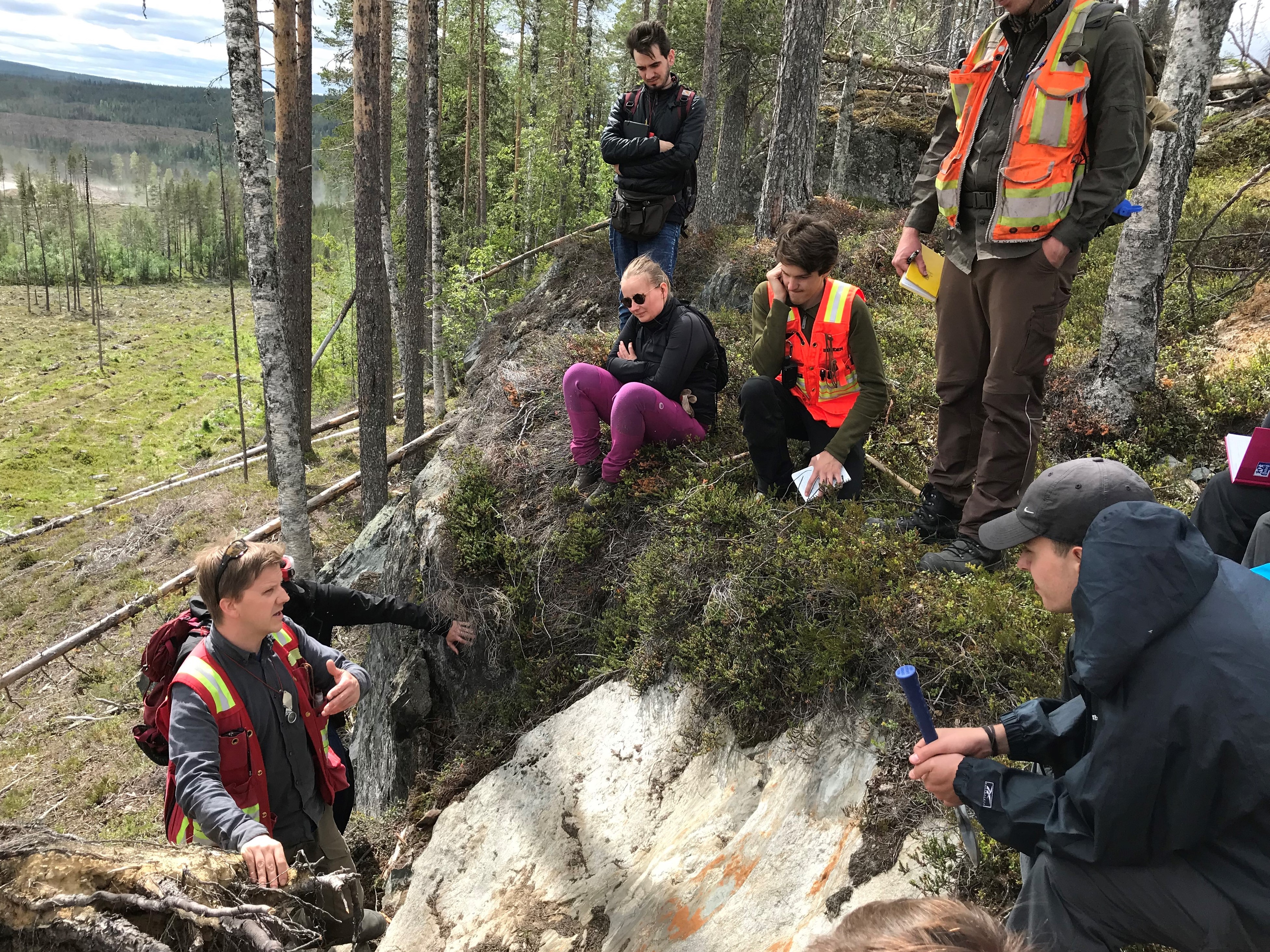
The short course was organized within the EXplORE MSc exchange program for students from LTU (Sweden), UniOulu (Finland), AGH (Poland) and TUBAF (Germany). Practical field mapping exercises covering various topics of field methodology included:
What is your overall assessment of the course?
MSC student 1: “I really enjoyed the field work and doing something practical beside universities everyday life. Also, it was a nice experience to get to know the other participants and to hear some first hand impressions from the industry during the evening lectures.”
MSC student 2: “Excellent! This is what I expected from a course titled “applied field exploration”. However, positive feedback usually does not contribute to development and therefore I will try to line out some “less positive” points. Still it took me some time to think about these, showing that the course was good! Some of the improvement suggestions are more the result of a personal brainstorming but still might be useful.”
MSc student 3: “The course was interactive, practical, thus integrated industry practices and protocols with class room studies and attempted at explaining geological theories with with observations on the field.”
MSc student 4: “The course is an eye opener to the field work.”
PhD student 1: “In overall the course was an excellent experience where one could integrated several ore exploration methodologies with the end task of finding a possible mineralization. It is not often in academia or industry that one can interact with geology, geochemistry, geophysics and structural geology focused in finding a deposit. Moreover, this course provided us with the training of developing a map that could have the not-so-easy characteristic of telling a story. In the past, I have had similar mapping courses but either never integrating so many tools or with different mapping objectives. The Skellefte mapping course will be for sure in my favourite list of mapping experiences!”
Boliden geologist 1: A very well thought-out and executed course that encompassed many important aspects of exploration in a short time period.
What is your overall assessment of the following:
Relevance to your field of study/work
MSc student 1: “Very high. It's sad that TUBAF isn't offering such a course in the master's program, so I'm glad I had that opportunity.”
MSc student 2: “This course did not contribute to my current study, but it contributed to the improvement of my knowledge of field geology and criteria, which are relevant for exploration of VMS deposits. I enjoyed the part of alteration, volc. facies mapping and especially structural geology – it’s the best.”
MSc student 3: “The course improved my understanding of structures, their measurements on the field and understanding the stress field at play in the selected study area. This is relevant in measuring rock properties such as fracture toughness, rock strengths and in determining the best possible support to provide for such rocks in working environment.”
MSc student 4: “Relevant experience gained.”
Boliden geologist 1: Experience of mapping and interpreting volcanic lithofacies as well as measuring and understanding structural features are fundamental in my line of work as an exploration geologist. This course helped me further my knowledge in both these areas.
PhD student 1: “Highly relevant”
Quality of teaching
MSc student 1: “Very high as well. You guys could answer every question, could describe every outcrop in detail. There's no questions about your experience in that area.”
MSc student 2: “You were very motivated and dedicated to get into discussion with the students, thumbs up!”
MSc student 3: “The teaching was good, especially with the invitation of guest lecturers to give insights to their fields with relation to the course”
MSc student 4: “Excellent e.g explanation of volcanic textures (Nils) and Tobi structural correlation also the inclusion of PhD students and Boliden employees aided with interactions.”
PhD student 1: “Excellent”
Course outline
MSc student 1: “Very logical. Starting with mapping, than going to geophysics in interesting area and finally start drilling (or at least logging some cores).”
MSc student 2: “When I read the course outline I actually thought it will be too much program to be realized in one week and therefore would be “low quality”, but it was the complete opposite. Good organization made it possible to combine the different disciplines in a didactic way.”
MSc student 3: “The course outline was good, considering it covered exploration from field mapping, geophysics applications, core logging and map production.”
MSc student 4: “Well planned”
Boliden geologist 1: “I like the holistic approach of the course, essentially condensing a whole exploration programme (including a discovery!) into a single week course. Tobi and Nils are engaging and knowledgeable geologists providing a good mix of structural geology and volcanology and lots of insight into the area.”
PhD student 1: “Excellent”
Course equipment and technology
MSc student 1: “I liked the idea to combine both the tablet and the paper map to show both methods. Especially working with the tablet was useful to understand, how mapping in th eindustry really works today.”
MSc student 2: “Perfect! I guess for many students it was the first time using a digital mapping tool. The combination with traditional mapping equipment was a perfect idea. It was also great to integrate the geophysics into the program. I just knew these methods from the lecture slides. However, here are some exaggerated ideas: a handheld XRF would be a perfect combination with the overall applied field character of course. Still I know it is very complicated to integrate this due to health and safty, costs, etc. The provided geochemical data set is probably enough information to understand the principle ideas of alteration and the quality of the data is likely better than hXRF data. However, it is always good to work with your own data.”
MSc student 3: “The equipment was fairly good, technology was great and easy to use.”
MSc student 4: “It would be nice when more hand lenses could be provided”
Boliden geologist 1: “Mapping using both analogue (paper maps and notes) as well as digital (Fieldmove) techniques was a good idea, allowing everyone to find out which method suits them best.”
PhD student 1: “Excellent”
Student-industry interaction
MSc student 1: “I think the evening lectures gave a goob overview from government services to industry and consulting.”
MSc student 2: “It was great to have the geologists of Boliden on-board. I also appreciated the evening talks.”
MSc student 3: “The interaction was cordial, especially in the areas of sharing industry practices different from theoretical norm”
MSc student 4: “Interesting topics discussed”
Boliden Geologist 1: “The evening talks from professionals in the exploration industry fitted very well into the theme of the course and provided interesting insights from different perspectives.”
PhD student 1: High-interaction (Excellent)”
What could be improved the next time the course is given?
MSc student 1: “Maybe you could add a drone to do some geophysics. Also, it would be interesting to let the student work without any further information during the first one or two days to make it more feel like greenfield exploration. I could Image that it would be interesting (and maybe funny as well) to compare what models the different groups would develope in that time.”
MSc student 2: “To but it in a nutshell: More time would be great. The majority of the groups still needed the third day to finish the map. The drill core logging was a little bit short. Still in the end everything worked out pretty well and we worked on the most important topics.”
MSc student 3: “The duration of the course can be prolonged to say 2 weeks. Understanding the terrain and structures at play comes with time and upon reflections of the day's work. This is relevant in constructing the map of the area with revisiting outcrops that were not so clear and exploring its vicinity for different evidences and features.”
MSc student 4: “The Geophysics day could be better”
Boliden geologist 1: “A short introduction to Fieldmove could be given before going into the field. For the core-logging part it would be interesting to look at some of the Boliden drill core intersecting the mineralization and give a nice conclusion to the week of exploration.”
PhD student 1: “Everything was very well-thought. My only recommendation would be to probably have a lecture about VMS deposits applied to field mapping/exploration, so if there is people that are not researching or working on them could get some idea of the type of features expected in these deposits.”
Would you recommend the course to others?
MSc student 1: “Definetely.”
MSc student 2: “Definitely”
MSc student 3: “Certainly”
MSc student 4: “I will highly recommend it”
Boliden geologist 1: “I would highly recommend this course to any aspiring or junior geologist interested in field exploration.”
PhD student 1: “Yes!”